NavList:
A Community Devoted to the Preservation and Practice of Celestial Navigation and Other Methods of Traditional Wayfinding



From: Frank Reed
Date: 2026 Aug 5, 11:43 -0700
Last week, I wrote that according to a wikipedia article (connected to Josh's joke about 'San Diego) that by the results of a National Geographic survey [...] one in four [were] unable to locate the Soviet Union or the Pacific Ocean. And I added, "I suspect that one in four unable to read a global map is probably true today, too. I wonder how many of them are sailing the oceans right now??"
This is peripheral to navigation, but geography education and knowledge do matter. I present here, for the collective amusement of the NavList community, two recent examples of "bad maps". Both examples were created by A.I. tools. Although producing a map "feels like" something that an A.I. capable of speaking a hundred languages fluently should be able to do, no, this is completely outside their normal skill set. They draw things that "resemble" maps, but they do not have tools to produce valid maps. They make bad maps.
This is why humans still have jobs, right? Certainly editing and curation are key superpowers that AI chatbots cannot touch, but unfortunately the wrong people are doing this. The same geographic illiteracy that could not locate the Pacific Ocean forty years ago has no clue about the shapes and locations of common countries/nation-states on maps today.
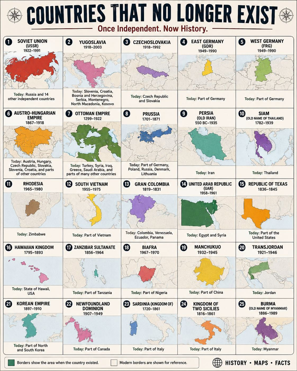
First image below is a typical poor-quality social media "share me" thing. It shows countries that no longer exist. Some are at least close. Many are wildly messed up. Have fun counting up the errors and strange distortions.
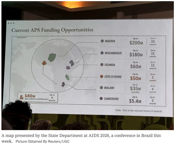
The second image famously was displayed during a presentation by the US State department. They quickly blamed AI and an intern. But really?? The locations and shapes of African countries are just mayhem. And it screams out "we don't care about you!" Oh but never mind that... The damage is deep, but have some fun with this one, too. Count up the errors, and imagine how an A.I. engine could produce this. The failure is the lesson. Both for the current level of A.I. tech and for the Trump State Department.
Frank Reed