NavList:
A Community Devoted to the Preservation and Practice of Celestial Navigation and Other Methods of Traditional Wayfinding



From: David Pike
Date: 2026 Aug 31, 06:22 -0700
Possible Lat & Long
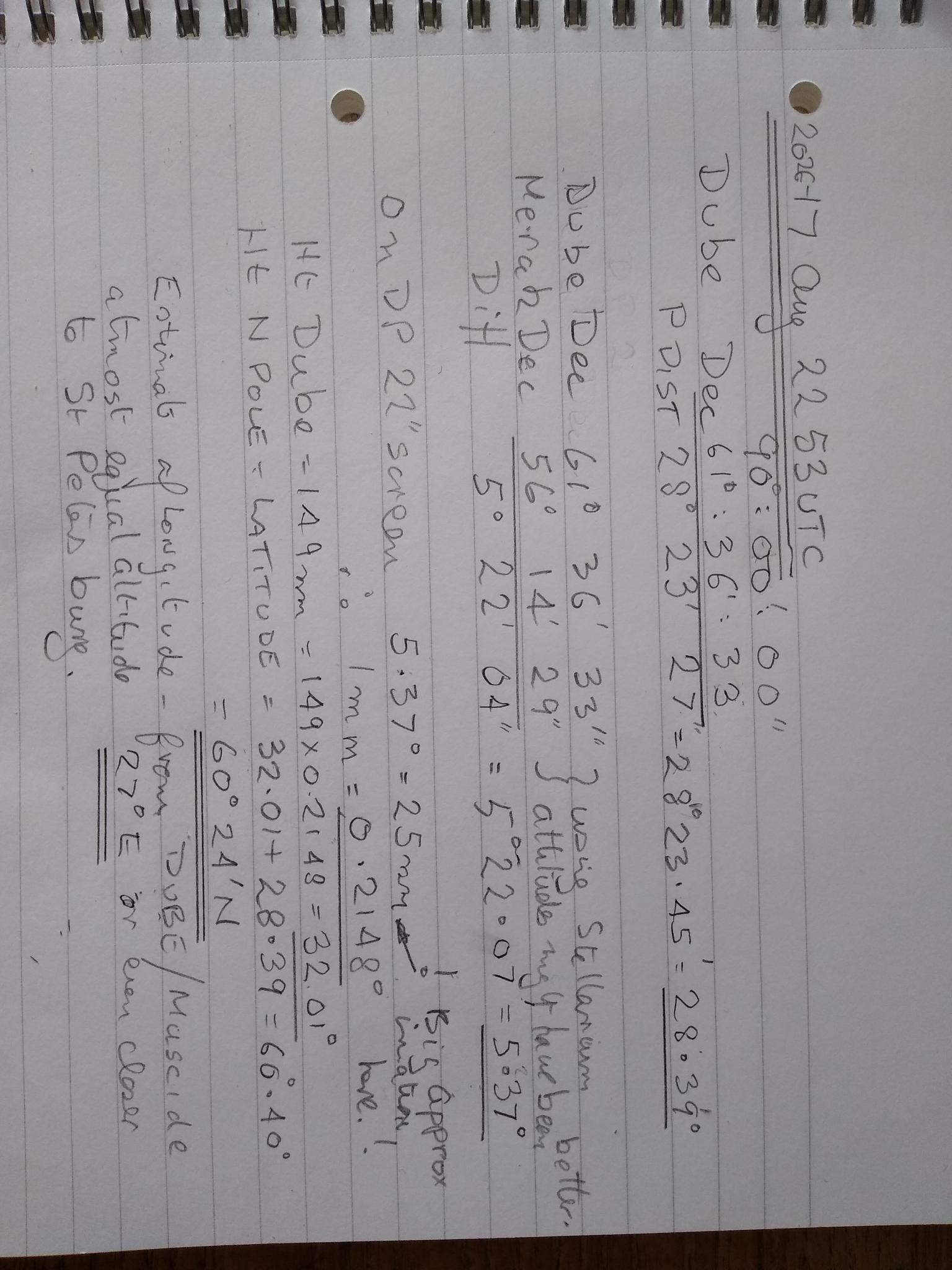
The best I can manage from the information given is latitude 60° 24’N longitude somewhere in the Gulf of Finland at least as far east as 27°E south of Kolka and possibly even further east towards St Petersburg. See Photograph. The Problem is getting Muscida on the same alt as Dube.
Possible Vessel
If ships time is 00:00 – 04:00 and UTC is 22:53, and it’s August, we’re looking at time zones UTC+01 to UTC+ 5 (winter). There are four possibilities: Draken Harold H, a Viking Longship lookalike based in Norway; Draken SAR a Finnish search and rescue launch; Draken, a small Swedish passenger ferry operating 24/7 in the Stockholm area; and Yacht Draken, a well-travelled Hallberg Rassy 34 yacht with a fair amount of top hamper on her stern based near Goteborg.
Draken Harold H is ocean capable, and she does sail at night, so she can’t be ruled out, but she’s a long way from Finland.
Draken SAR probably confines herself to the Finnish Archipelago, but she does sail at night, so she can’t be ruled out either. However, she doesn’t carry any matching the top hamper around her stern.
Draken passenger ferry appears to work 24/7; well, she was last night when I woke up and checked ‘Marine Traffic’, but her crew are probably too busy to take photographs.
That leaves Draken HR34. She’s been on what looks like her home mooring at Langedrag since 22Aug, so she had five days to get from L. Vanern westabout. Eastabout would have been a rush and almost impossible. However, she would have had to go well north in L. Vanern to get those lights in the background, and yachts tend to just sail Sjotorp to Vanersborg. She would have had time to sail round the bottom of Sweden where there are plenty of places for the lights in the background to match, but it would have been a race under engine power to get home from Kotka, Dave P