NavList:
A Community Devoted to the Preservation and Practice of Celestial Navigation and Other Methods of Traditional Wayfinding
A question for the geodisists
From: Gary LaPook
Date: 2013 Dec 17, 03:01 -0800

From: Gary LaPook
Date: 2013 Dec 17, 03:01 -0800
On July 2, 1937 Amelia Earhart was
attempting to find Howland island. Her navigator, Fred Noonan, was
using celestial navigation to fly the standard single line of position
landfall approach to the island. (see: https://sites.google.com/site/fredienoonan/discussions/navigation-to-howland-island )
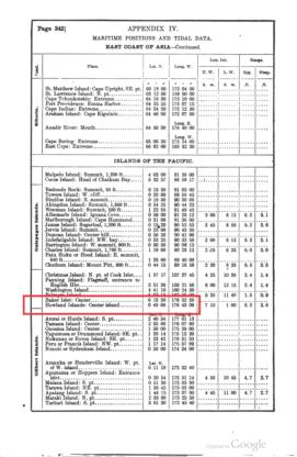
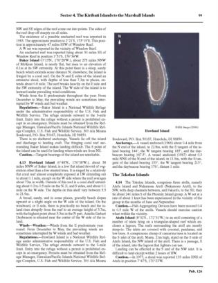
The Pacific Sailing Directions (1885) gives the location of Howland as 0° 49' north, 176° 40' west. Bowditch (1920) gives it as 0° 49' 00" north, 176° 43' 09" west. Bowditch (1938) gives it as 0° 48' north, 176° 38' west. This is still listed as the correct coordinates in H.O. 126.
Some have argued that Noonan was working with the old coordinates and was aiming for 0° 49' 00" north, 176° 43' 09" west and so missed the island by about five nautical miles. However, the correct coordinates were given on the June 1937 edition of the local chart, 1198, so we know that the correct coordinates had been found sometime prior to Earhart's departure from the states so I would think that the updated information would have been provided to her, considering that the orders to assist her came directly from the White House and the importance of the correct information would have been apparent to anyone.
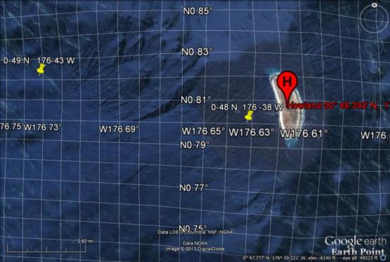
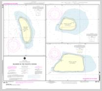
I have looked at Howland on Google Earth and it now appears that it has moved to the east another mile! And the coordinates found on the most recent chart now show it also at 0° 48' 00" north, 176° 37' west, one mile east of he published location. How does the island keep moving? If this is the true location then Noonan may have been aiming another NM too far to the west. There is a note on the newest chart that says:
So it appears that the most recent movement resulted from changing the datum to WGS 84 but it seems to me that an adjustment of an entire mile to the east is very large compared to other such shifts. So, if Noonan was using the old coordinates would he have been aiming six NM west or just five? And I think that I remember this correctly, that the geodetic gratical used for map making places the landmarks where they would be placed by celestial navigation. So if the island really is a at 176° 37' west then this might help explain why they couldn't find the island. I thought that the greatest difference between the geodetic and the geographic coordinates, as far as celestial navigation is concerned, is in latitude and that changing to WGS 84 wouldn't have such a large
effect on longitude. Can someone explain how shifting from one datum to another would cause this type of error in the celestial navigation.
gl
